 Español
Read your land before you plant
A free guide to designing farms that can withstand drought, fire and erosion in a Mediterranean climate.
- Soil, water and climate. Which data to look at first and how to read it on the map.
- Fire risk and erosion. Where the danger is on your farm and how to reduce it.
- Plantings, water retention and roads. How to layer them into a single plan.
Download the free guide
Enter your email and download it right away.
No spam. Direct PDF download.
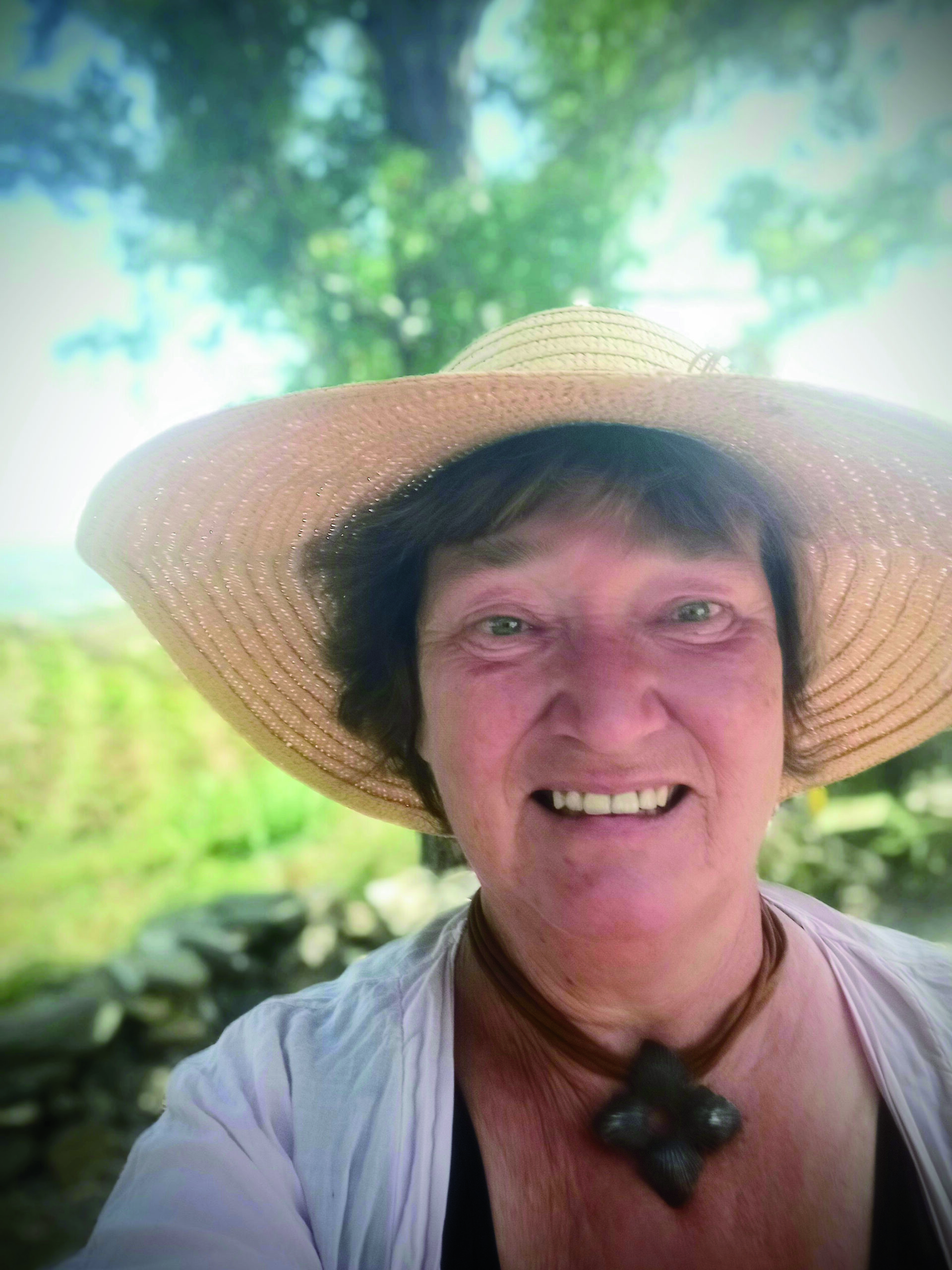
Hi, I'm Felicitas
I design climate-smart farms in Mediterranean climates. I start with a QGIS analysis of the land (soil, water, climate, fire risk and erosion) and turn it into a design plan: plantings, water retention and roads, layered on one map.
After over 20 years working as agroecology consultant all over the world I bought a small farm in Southern Spain and started from scratch – building soil on bare rock, harvesting and storing water from every rain, protect the land from the scorching sun and strong winds. Now I want to share what I learnt from my farm and help others to understand and cultivate their land.
This guide sums up the method I use so you can apply it to your own land.